See the World Through Your Lens: Introducing Next-Gen AI Satellite Image Segmentation Solution “TELESCOPE”

Assume you’re in the real estate business or own agricultural land and want to discover every detail about a bit of land/location sitting a thousand miles away. Doesn’t that sound a little too intricate? Well, Telescope helps you to do it in a snap!
What is Telescope?
It’s a next-generation AI satellite image segmentation solution capable of resolving complex business and significant operational requirements. Telescope uses a machine learning framework to classify information in a digital image (i.e., buildings, roads, grasslands). It then generates output segmentation data, which can be utilized for diverse business purposes such as pattern identification and object tracking.
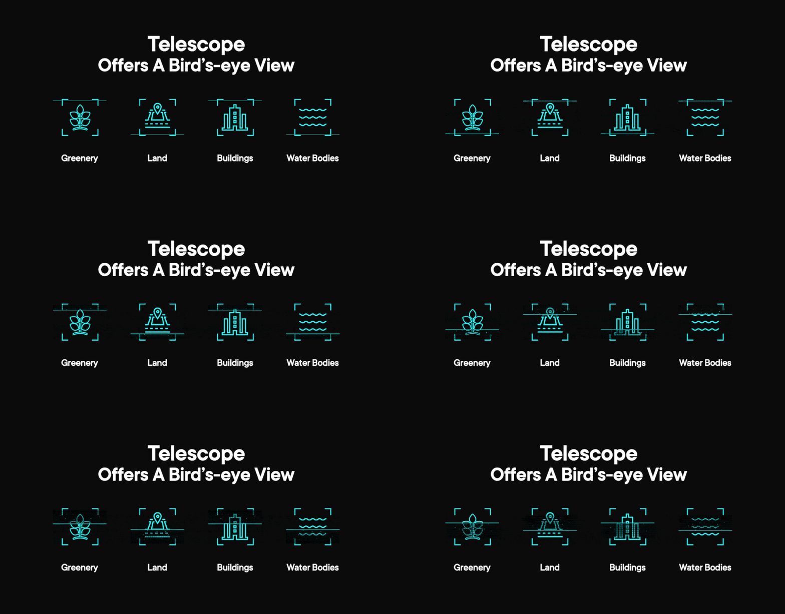
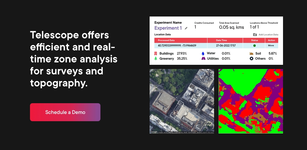
Telescope emphasizes the concept of leveraging AI and has established a software package that utilizes cloud services to allow you to extract valuable data pertaining to your business. This platform lets users perform real-time image analysis on high-resolution satellite images and view adjacent locations with the accurate coverage percentage of greenery, land, buildings, and water bodies.


- Telescope uses a cutting-edge combination of Computer Vision and GIS technologies that allows to automatically retrieve high-resolution satellite images of sites with up to 100 square km of magnification
- It enables single or multiple pairs of lat-long parameters or location names in various formats
- Uses a Deep Learning Feature Pyramid Network (FPN) model with a point rend module for precisely predicting the label maps
- It will allow you to assess variations in water bodies or land shapes like dams, rivers, deserts, and mountains
Telescope provides a broad range of real-world applications such as monitoring deforestation, urbanization, traffic recognition of natural resources, urban planning, etc. This novel technology can also be used in critical missions for the uniformed forces and in monitoring catastrophic catastrophes like volcanic eruptions, wildfires, and floods, among other things. With an intuitive interface and a substantial reduction in manual effort, it automates land surveys and minimizes the requirement for data collection associated with mapping and construction operations.

In other words, this solution enables faster and more accurate data processing, reducing time and cost, and is very handy for professionals. Furthermore, the solution’s atomized approach yields quicker and more accurate outcomes, with much less reliance on third-party data sources.
What is More Exciting About Telescope?
- Its segmentation technique automates the process of extracting structures like land, lake, etc., from satellite images without the requirement of any advanced skills in Computer Vision or geospatial data
- It has been built using advanced image processing algorithms, offering the most accurate results and seamless integration with real-time API services
- The solution can be readily incorporated into current corporate GIS systems or used as a standalone solution to handle geographic data
- Exports multiple high-resolution images leveraging Google Maps as a default source for satellite images
- Highly interactive dashboard for reporting and visualization
- Highly accurate percentage-wise representation of the areas covered in various categories
- Save your planning time up to 70% and costs up to 30%
A Bigger Picture Beyond the Flaws
Whether it’s a mission for any uniformed forces, monitoring catastrophic events, feasibility analysis for mobile tower setup, or planning a smart city, Telescope is a one-in-all solution for your business need. Request a demo to learn how to leverage this solution for your business need. Be ahead of the technology crux!